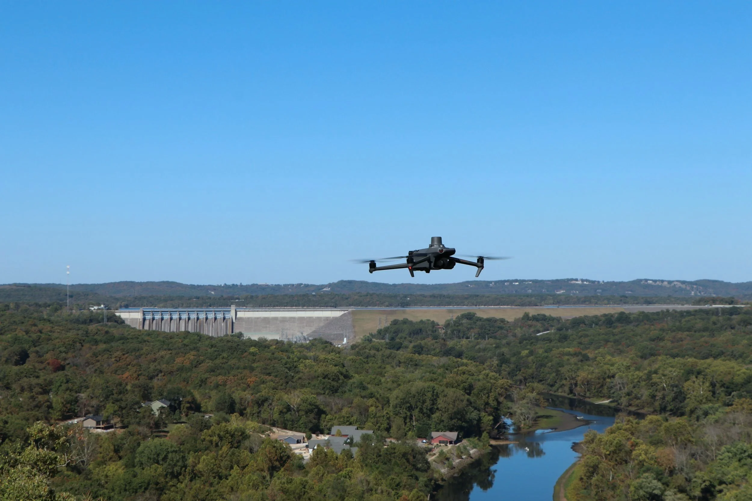
Our expert land surveying team delivers precise, high-quality data to support infrastructure and development projects. Utilizing advanced drone technology, we provide aerial mapping, topographic surveys, and detailed site assessments, ensuring accuracy, efficiency, and cost-effective solutions for our clients.